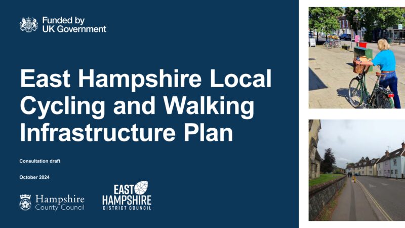
Hampshire County Council is asking us all to comment on their plans for better cycling and walking routes. Once approved, this important document will provide them with the basis for applying for grants to build safe routes and will inform the emerging Local Plan.
This is a rare opportunity for us all to let HCC know where you think better infrastructure is needed, such as cycle paths, safe crossings etc.
The consultation closes at 11:59pm on Sunday 17th November.
If you need some help on what to say, please read our guidance below.
To read about HCC’s proposals for Alton in detail, follow this link to the consultation. The LCWIP document is under the heading ‘More About the Project’. See pages 181-193 for cycling; walking routes are pages 54 to 75
There are four ways to respond, starting with the quickest:
1. E-mail your comments directly to engagement.feedback@hants.gov.uk, adding that you support the Cycle Alton response which is here, and which you can download, save and attach. https://docs.google.com/document/d/1eEEaS0-ajUdA74GdD2G9hlrHLxU4pcKQ/edit?usp=drive_link&ouid=115267757482054521145&rtpof=true&sd=true
2. Complete the Cycling/Walking survey. Follow this link to the consultation (or google ‘EHDC LCWIP’) and ‘Respond to the consultation’. It takes about 10 minutes.
3. Complete the *Map Based Survey. This allows pinpointing of areas in detail and will highlight clusters of problems on the map for HCC to prioritise. There is a video and written instructions to explain how to ‘drop a pin’ and enter comments on their map.
4. Do all of the above.
- *NB: There have been technical difficulties, and some people are unable to open the maps or complete the instructions. HCC are aware and have tried to fix it, but there are still some problems. If you can access the Map Based Survey, please tick ‘negative’ or ‘very negative’ to highlight areas of concern in red. If you click the link to submit another response you’ll get the Arcgis sign-in page – just ignore and return to the Map Based Survey at the top of the page.
- Cycle Alton has drawn up a list of five problem areas within the LCWIP’s proposed primary and secondary routes which are detailed below. We urge you to comment on these areas of concern.
Cycle Alton’s five areas for concern and suggested improvements
1. Holybourne Primary Route 200
On-road parking makes this route difficult & unsafe for cyclists to navigate.
We propose the safer off-road secondary route (from Anstey Park, behind Treloar College to Holybourne via Howards Lane and Church Lane) should be prioritised as Primary Route 200. At the western end it would need a toucan crossing to Geales Crescent.
2. Draymans Way – Turk Street roundabout on Secondary Route
We are aware of two cycle/car collisions very recently. This dangerous roundabout is the only route to cycle from the High Street to the well-used community facilities at Alton Maltings Centre.
We propose a) A tiger or toucan crossing across the junction and
b) The on-street parking in Turk Street be replaced with a contra-flow cycle lane on the southern side into the centre of the High Street.
3. High Street/Market Street. Primary Routes 200 and 210
The LCWIP acknowledges narrow roads, on-street parking and one-way systems as barriers to cycling and suggests re-modelling the High Street to allow contraflow systems.
We support the need for contra-flow cycle lanes on Crown Hill, Turk Street, Market Street and the rest of the High Street. Buses, taxis and disabled parking could still be accommodated.
4. Corner of Northfield Lane and Chawton Park Road. Primary Route 200
This is a busy, narrow and dangerous blind bend with no footpath and buses every 15 minutes. National Cycle Network route 224 crosses this corner and it is on a popular route for commuters, students and walkers between Four Marks and Alton. The NCN cycle path through the farmland urgently needs improvement.
We propose a toucan crossing by the Cricket Club car park entrance, and a shared-use path on the western side down to the corner. This will safely link the NCN 224 between Four Marks and Alton Town Centre. We suggest the farmland cycle path be upgraded.
5. Junction of Chawton Park Road and Whitedown Lane. Primary Route 200
There is currently no safe way to cycle from The Butts to the shared-use path under the Butts Bridge or to the Sports Centre. We welcome the LCWIP suggestions for improving this junction.
The shared-use path from outside The French Horn should be extended north to the entrance to Chawton Park Road with a light controlled crossing to access NCN 224 into the town centre.
Please submit your comments by 17th November. Thank you very much.
 Alton Climate Action Network